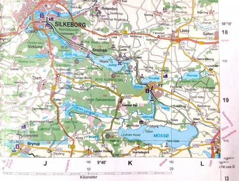
On the map above the position is correct - BUT in the GPS it can go wrong in more than one way..
Please read the description! - if you need further assistance, feel free to contact me 🙂
Googlemaps:
RoomWithoutRoof
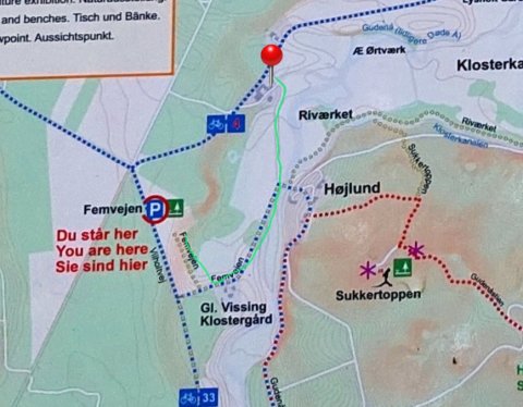
/ 'Klostergård Natur'
Coordinates:
56.042726, 9.670624 / GPS N56 02.564 E9 40.237
GPS INFO - best not to use the postaladdress in gps
Instead use the info above or the address Højlundvej 38, 8660 (our neighbour further down the dirtroad)
The postal address: Gl. Ryevej 24B, Vissingkloster, 8660 Skanderborg
most likely is very misdirecting.
Please, check roadmap if you use postal address!
And be attentive when you come close!
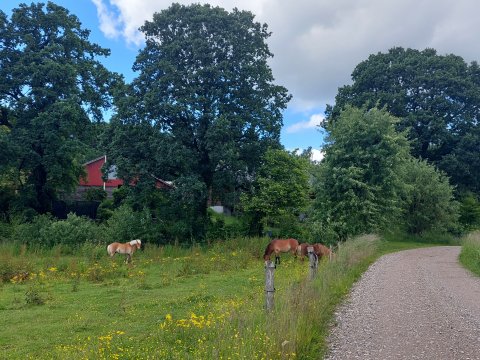
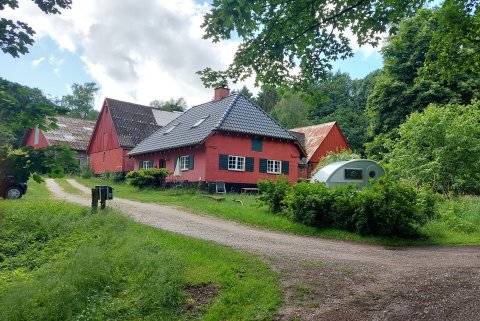
You find us on the corner of Gl. Ryevej [461] and the dirt road Højlundvej - it is seen from the mainroad, next to the red stable-buildings and the wooden house (Klostergård Natur)
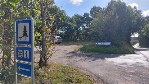
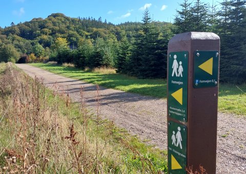
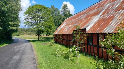
OBS - so the place is right next to the country road, 20m into the dirt road. (see pictures ↓)
DO NOT take the dirt road from any other direction.
Turn right after the red building, coming from south
(Horsens, Østbirk [461], Brædstrup
House on the corner of Højlundvej/Gl. Ryevej, turn left coming from north
(from Silkeborg, Ry, Gl.Rye, motorway E45/Skanderborg S - south of Mossø)